
Home
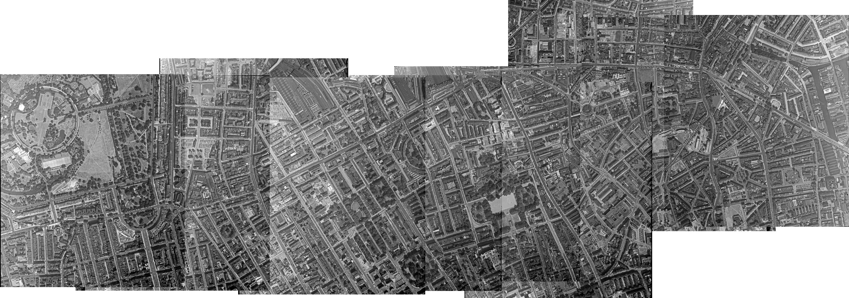
Aerial photos taken by the Royal Air Force after World War II provide a valuable snapshot of Britain’s physical environment and an important moment in its modern history.
Welcome to Layers of London, a project funded by the Heritage Lottery Fund and based at the University of London‘s Institute of Historical Research. The project explores London’s development, history and heritage, from the Roman period to the present day through the city’s places using maps to show how London has changed over its history, and how Londoners have adapted to those changes. Layers of London aims to tell this story both across the city as a whole, but also with reference to local areas, streets, neighbourhoods and even individual buildings. Most important of all is that Layers of London is open to all to contribute to the history of London’s places. Click here to find our more, or to get involved.
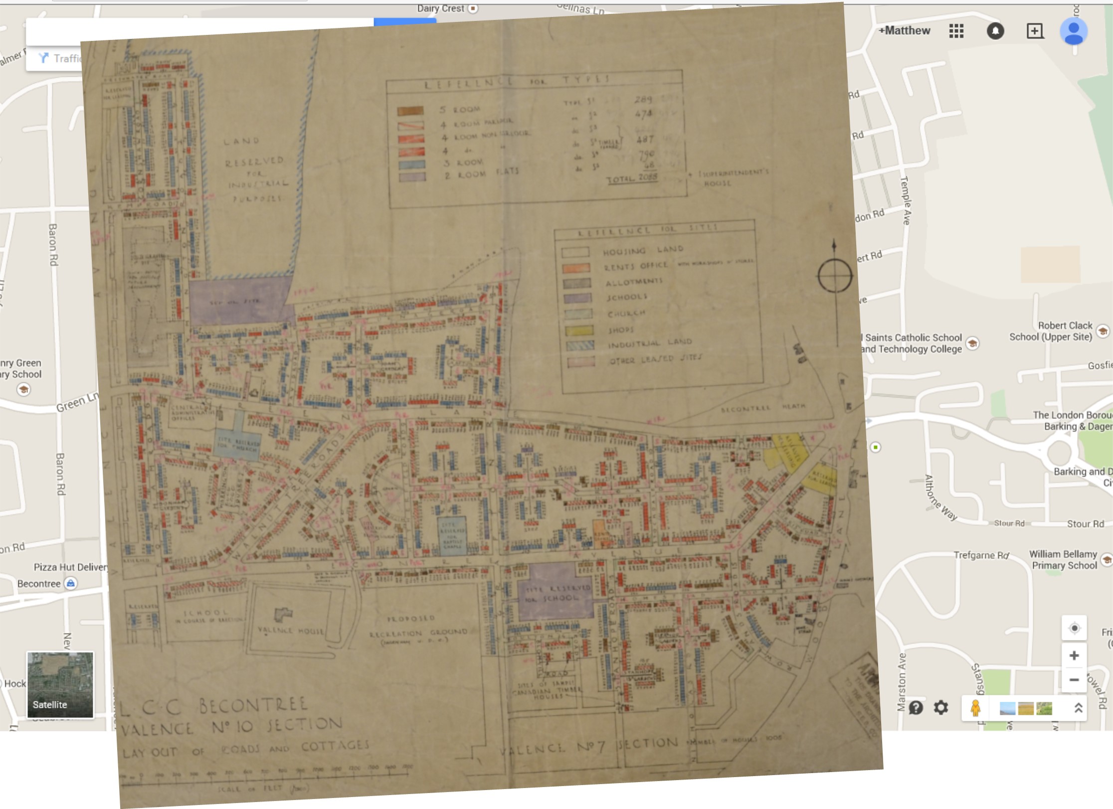
The principle of Layers of London is to link different maps and other together to enable you to see how London has changed over time. We’d love you to get involved, either by helping with the process of linking the maps (georeferencing) or by adding your own information.